 |
 |
 |
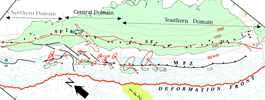
Our mapping of the 1900-km-long Sumatran fault, using topo maps and aerial photographs, showed that (unlike the San Andreas) it is highly segmented. Large dilatational stepovers appear to have limited the extent of historical ruptures and to have limited the size of historical earthquakes to about M 7.5. Total offset across this long fault may be only 20 to 100 km, and current slip rates vary from about 11 to 27 mm/yr. Related publications: Sieh and Natawidjaja (2000) present the
segmented geometry of the fault, its relationship to the Sumatran
volcanic arc and subduction zone, and speculations about its
developmental history and earthquake potential. Sieh, K. et al. (1994) describe preliminary
studies of late Quaternary slip rate variations along the fault. |
Click on the thumbnail images for more detailed information. |
|


